Pre-European
Nelson Haven known to Maori as spawning ground for snapper and other species.
1841 onwards, a time of rapid growth
The port must adjust to an increasing volume of trade and rapid growth in size of ships - this is an ongoing problem. Port development is hindered by meager finance until 1901.
Haven discovered by Europeans
Vessels came in with tide and went out against it. Arthur Wakefield observed Haven entrance too narrow to admit largest vessels but sufficient deep water in harbour. Many strandings in early days. Fifeshire on maiden voyage in 1842 ran aground and wrecked.
A steady stream of immigrants
Immigrant ships such as the Fifeshire, Mary Ann, Lloyds, and Lord Auckland bring a steady stream of immigrants to Nelson. Wakefield says a steam tug is needed to ensure harbour safety.
1849 Peak Year
Peak year with 98,500 feet of sawn timber, 18,561 pounds wool. Port facilities were at capacity to cope with increasing quantity of goods.
Sending Off the Apple Crop
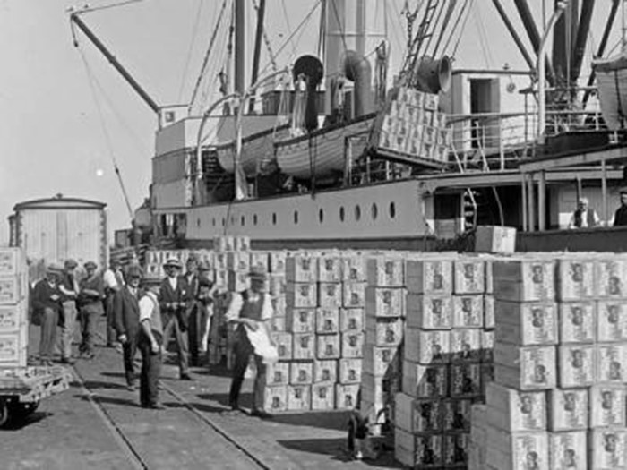
The apple industry in Nelson dates right back to the 1850s, when Wellingtonians were the first outside the region to enjoy a juicy Nelson apple. By the turn of the century the trans-Tasman trip had been reduced to five days and apple exporting began. In the 1930s fruit exports to the UK were putting pressure on port facilities. In the 1950s modern handling methods using pallets and forklifts started to evolve, and in 1957 the half-million case landmark was met for the first time in exports from Port Nelson.
The Early Days
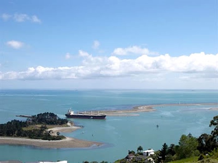
The first chart of Nelson was drawn up by Captain John Stokes in 1850. In those days the Waimea flowed out to sea at Tahunanui, where KFC now stands. Across the river mouth lay the huge Waimea sandbank. The water from the Maitai and the Nelson estuary met the outflowing Waimea, west of Haulashore Island, where the swirl of their junction created Bolton Hole. This area, named after the emigrant ship Bolton which arrived in Nelson in 1842, was up to 20 metres deep and gave ships a mooring place at the foot of what is now Richardson Street. The chart gives points of reference for finding the entry to Nelson, in the rocky gap between Haulashore Island and Arrow (Fifeshire) Rock.
1850 - 53 Widen shipping channel
Arrow Rock blasted to widen breadth of Channel.
1859 -1860 New Wharf
New Government Wharf is built, extends 380 feet seaward, 40 feet wide. Can accommodate vessels drawing 16 feet alongside at low tide. The wharf was made of black birch piles and soon rotted away - by 1874 it was beyond repair.
Lighting the way
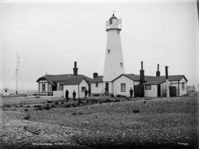
Nelson's lighthouse was installed in 1862, and is still a local landmark. The cast-iron structure was built in England by Stothart and Pitt of Bath, and was shipped to Nelson in parts. Up until 1915 the light was oil fired and was tended by the two keepers who lived with their families in wooden cottages alongside the lighthouse.
The Cut
Today's shipping liners make entry to Port Nelson look easy, but it wasn't always this way. Haulashore Island was connected to the Boulder Bank until The Cut was made in 1906. It was one of the first major jobs tackled by the Nelson Harbour Board. Progress on The Cut was never straightforward - the board fell out with its engineer, there were cost overruns and a disastrous decision in 1906 to open The Cut before it had been fully dredged.
The Last 50 years
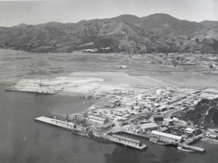
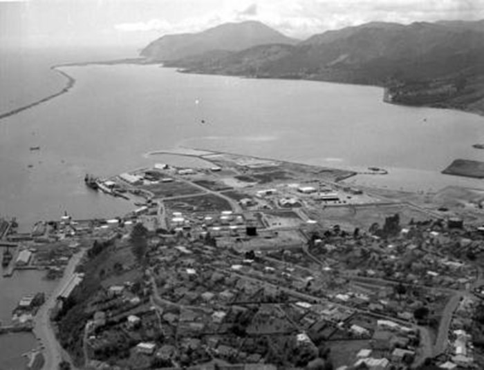
The present shape of Port Nelson owes much to William Henry Parr QSO (1907-2002). We named one of our tugs W H Parr after this long serving General Manager of the Nelson Harbour Board, who was also a board member for 15 years. In 1948, just a couple of years into his new job at the port, Bill presented a report to the Board that called for a massive development, involving more land, a deeper harbour and more wharf space. He told the board it would cost half a million pounds, and laid out his method for raising the money.

